Leading analytics solutions
with Neural Earth Markets
Technology to manage business challenges with powerful geospatial analytics, economic data, and workflow tools
Property Insurance
Enhance your portfolio management and streamline operations with actionable insights powered by AI-driven analysis of satellite and drone imagery.
Learn more

Supply chain and logistics
Optimize your logistics operations and drive efficiency with AI-powered solutions that seamlessly integrate real-time data from IoT, satelite, and drone technologies.
Learn more

Research & Insights
Going beyond images and numbers to understand a dynamic earth. Neural Earth Market’s tools and workflows, with research and insights provides the essential intelligence you need to stay ahead of changing market dynamics and seize your next opportunity.

Advanced ML Tools & Workflows
Neural Earth connects developers, agents, buyers, and investors in a seamless, transparent, data-driven insights platform

Agriculture
Improves crop yields, optimizes resource usage, and enables precision farming for better agricultural outcomes.

Climate
Monitors climate patterns, predicts changes, and aids in developing sustainable solutions for the environment.
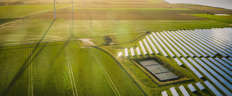
Energy
Enhances energy efficiency, predicts trends, and supports the development of renewable sources.

Government
Streamlines operations, enhances data analysis, and improves public services and decision-making.

Natural resources
Optimizes the management and conservation of natural resources, ensuring sustainable utilizations.

Non-profit
Built with developers in mind, uses best coding practices. Offers handlers & events and automated tests covering critical components of the application.

Risk
Identifies, analyzes, and mitigates potential risks, providing predictive insights to safeguard businesses.

Weather
Forecasts weather patterns, provides real-time updates, and assists in planning for weather-related events.